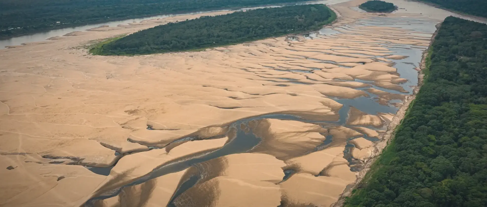
Seasonal water level views along the Amazon rivers near Manaus highlight how
dramatically the landscape changes throughout the year. Rising and falling water levels
transform riverbanks, forests, and access routes, creating constantly shifting scenery.
During the high-water season, flooded forests appear and boats travel through areas
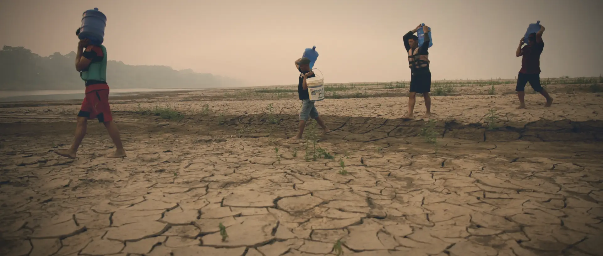
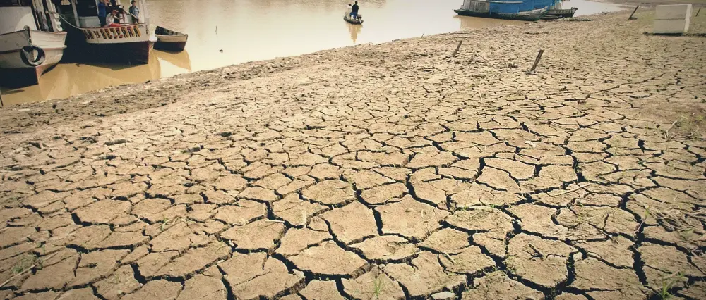
normally dry. In low-water months, sandy banks and exposed roots become visible,
offering a different perspective of the river environment.
For travelers, observing seasonal water level changes provides insight into the natural
rhythm of the Amazon ecosystem.
- 🌳 Observe flooded forests 🌊 or exposed riverbanks and beaches 🏖️
- 📸 Photograph changing landscapes 🖼️ as the water levels shift 📉
- 📖 Learn about seasonal 📅 river cycles and ecological impacts 🧬
- 🔍 Compare scenery between 🌦️ different seasons and weather patterns ☀️
- 🏙️ Accessible by boat 🛥️ from the docks of Manaus 🏁
- 🗺️ Included in educational 🎓 and nature-focused river tours 🌿
- 🛶 Routes vary depending 📏 on current water levels and depth 🌊
- 🗣️ Ask guides about 📏 current water conditions and safety ⚓
- 👟 Prepare for different 🚢 boarding conditions at the docks 🛡️
- 🎒 Protect belongings from 💧 splashes and river spray 🌊
- 🗓️ Plan visits based 🗺️ on preferred scenery and landscapes 🖼️
- 🕘 9:00 AM – Depart Manaus 🚤 by boat for the journey 🌊
- 🕙 10:30 AM – Observe seasonal 🌳 river landscapes and flooded areas 🔭
- 🕛 12:00 PM – Guided explanation 👨🏫 and photography of the terrain 📸
- 🕑 2:00 PM – Return to 🏙️ Manaus after the exploration 🏁